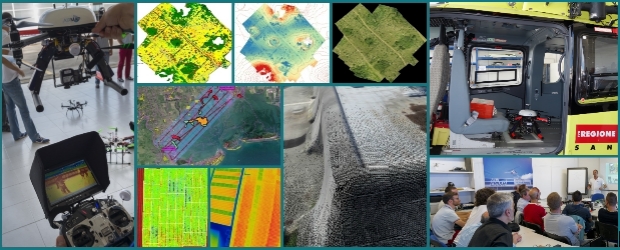
The company AIRMAP® is organized to supply services in the field of Geomatics through the design, development and integration of technologies which use Remote Pilot Aircraft Systems (RPAS) . AIRMAP provides End-to-End Services including planning, acquisition and data processing (images, video, physical and chemical parameters) obtained through RPAS platforms specifically designed and / or adapted by integration of the third-parts subsystems (mechanical , electronics, software). All the End-to-End solutions are developed to be compliant with the Italian National Civil Aviation Authority ENAC considering the current RPAS regulation (Airmap Enac Authorization N.5246).
AIRMAP ® RPAS Flight Analysis
More Posts in Who we are
Share this Post


